North American Classic Climbs
Mount Whitney
East Face
|
North American Classic Climbs |
| |
|
| |
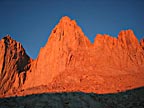
Mount Whitney East Face |
Beta ![]() Images-1
Images-1 ![]() Images-2
Images-2 ![]() Slide Show
Slide Show
|
|
|
Description |
Climbers* |
Photo* |
Date |
|
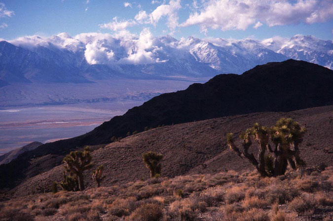
The Southern Sierras, taken from across the Owens Valley, where the range produces a desert due to the rain shadow effect. Mt. Whitney is the high peak in the middle. |
- |
GC |
12/27/96 | ||
|
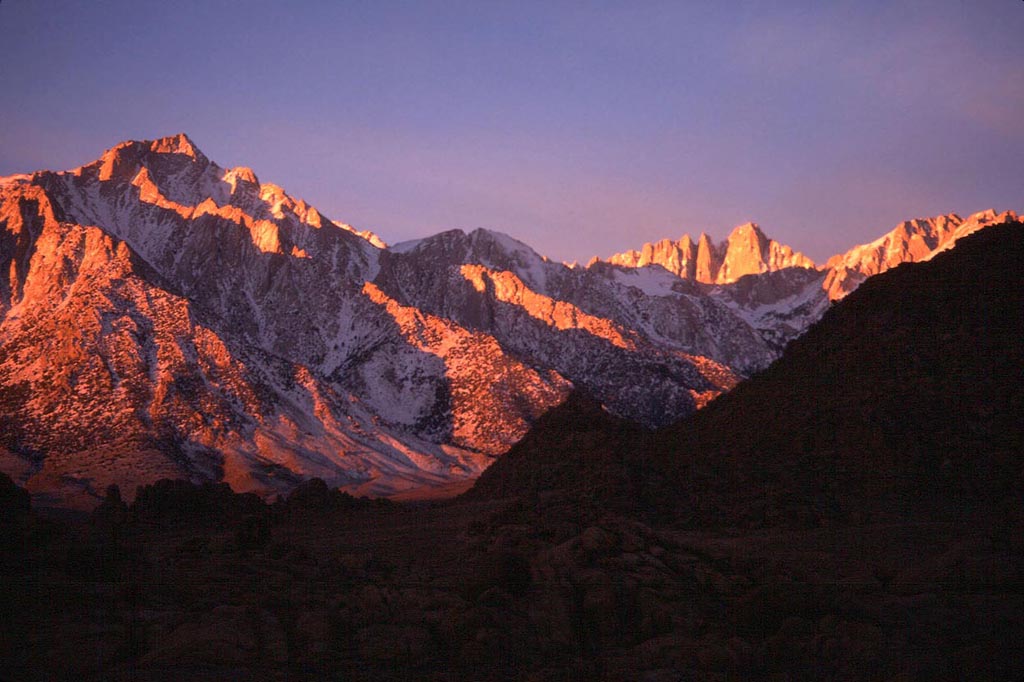
Mt. Whitney and surrounding peaks from the Alabama Hills, sunrise. |
- |
GC |
12/28/96 | ||
|
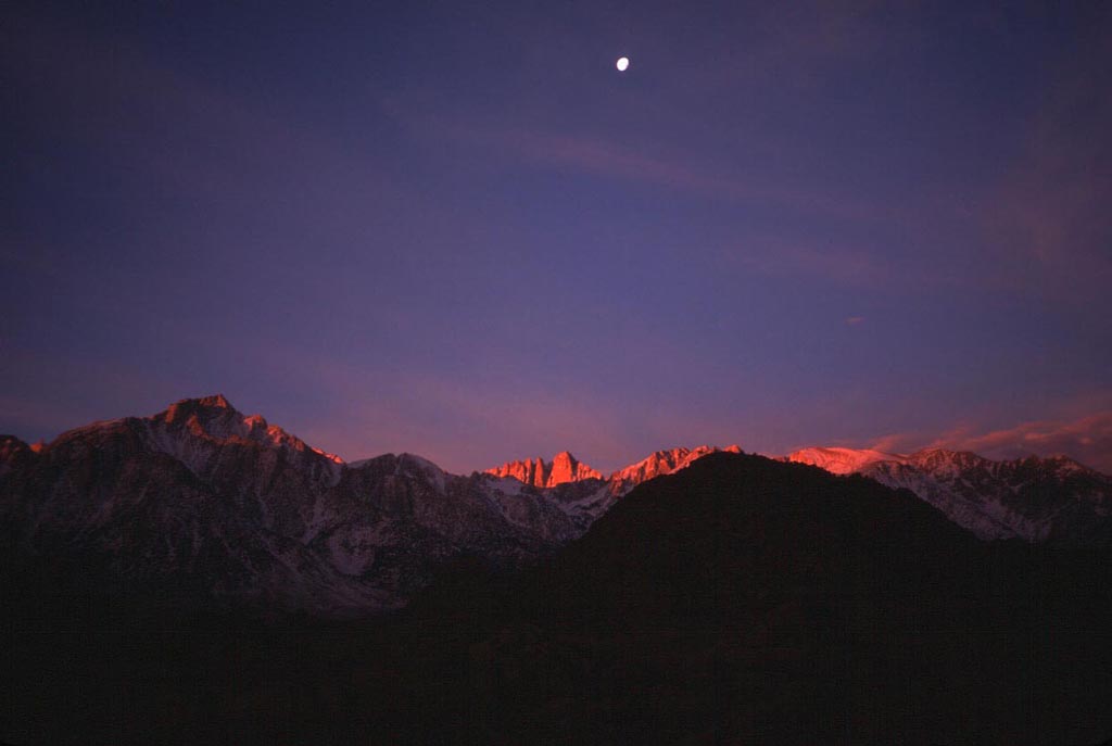
Another sunrise shot with the moon. |
- |
GC |
12/28/96 | ||
|
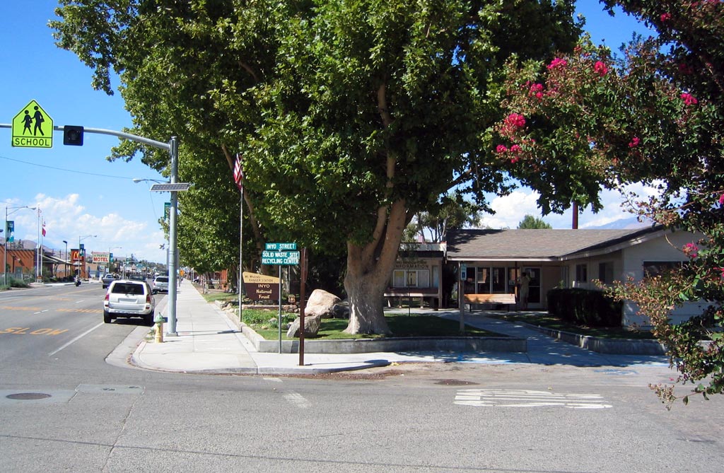
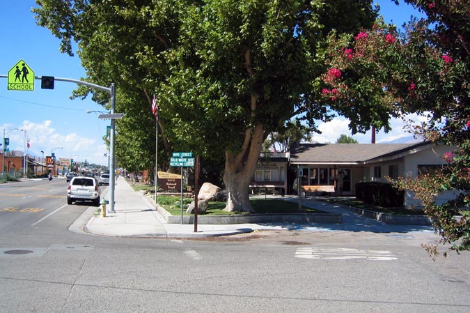
Forest Service HQ in Lone Pine, where your trip begins (note permitting requirements!) |
- |
CD |
9/03 | ||
|
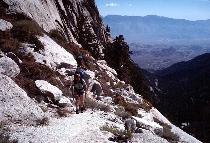
The lower section of the trail from Whitney Portal (8400') goes up the North Fork of Lone Pine Creek. Switchbacks on the road are visible below. |
RK, LG |
GC |
9/12/80 | ||
|
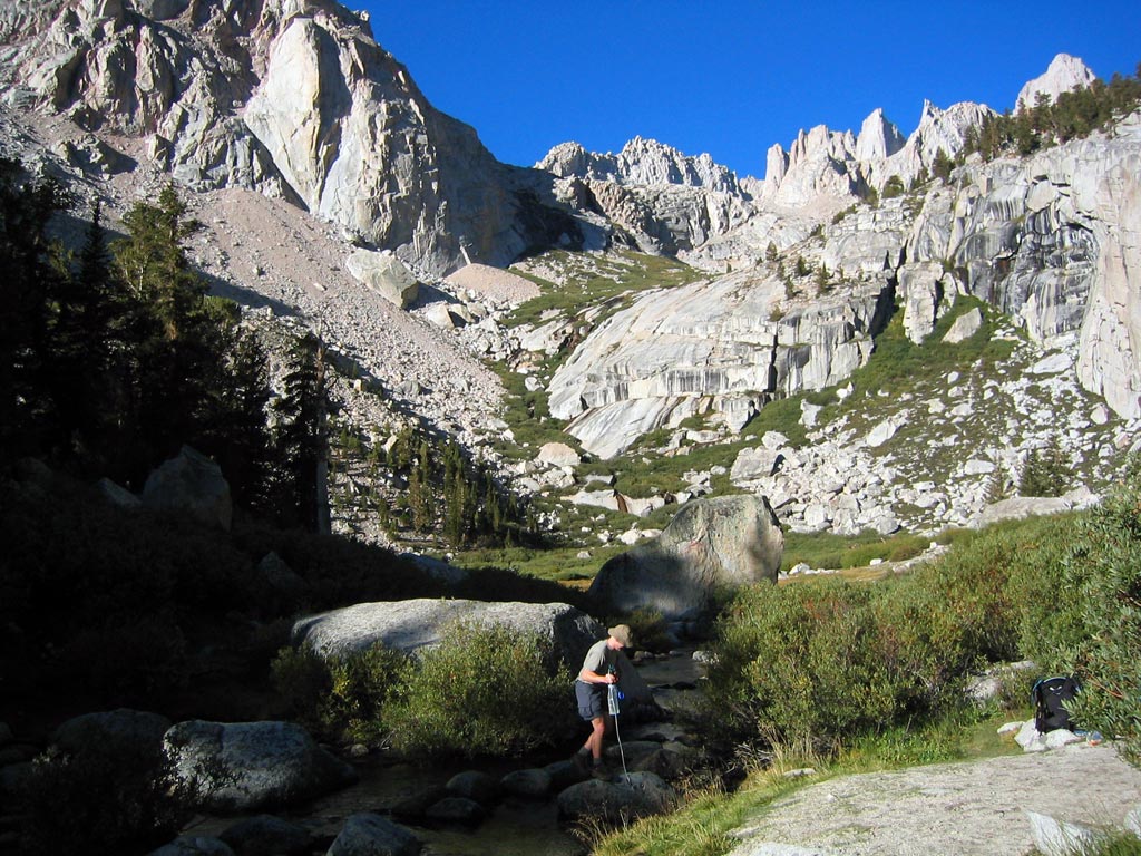
Looking up towards the Ebersbacher Ledges from the south side of the creek. |
GD |
CD |
9/03 | ||
|
Lower Boy Scout Lake on the approach hike. |
GD |
CD |
9/03 | ||
|
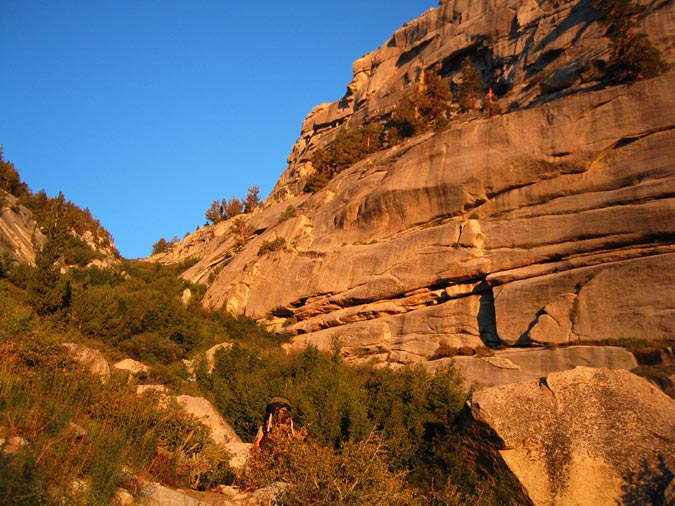
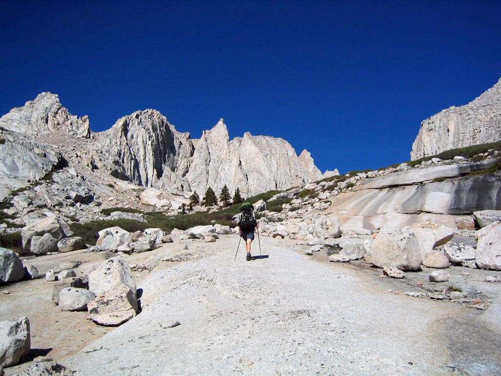
Glacial slabs on the approach. |
GD |
CD |
9/03 | ||
|
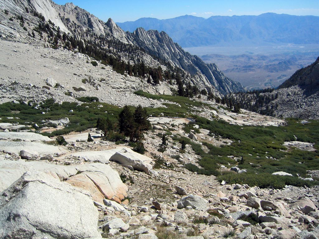
Looking down at the Clyde's Meadow. |
- |
CD |
9/03 | ||
|
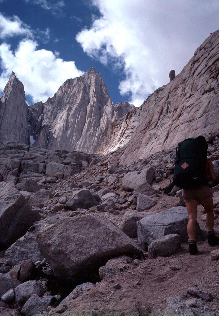
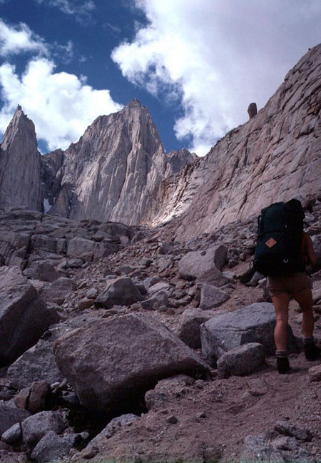
Reaching the basin under the East Face where the trail largely disappears. |
LC |
GC |
9/12/80 | ||
|
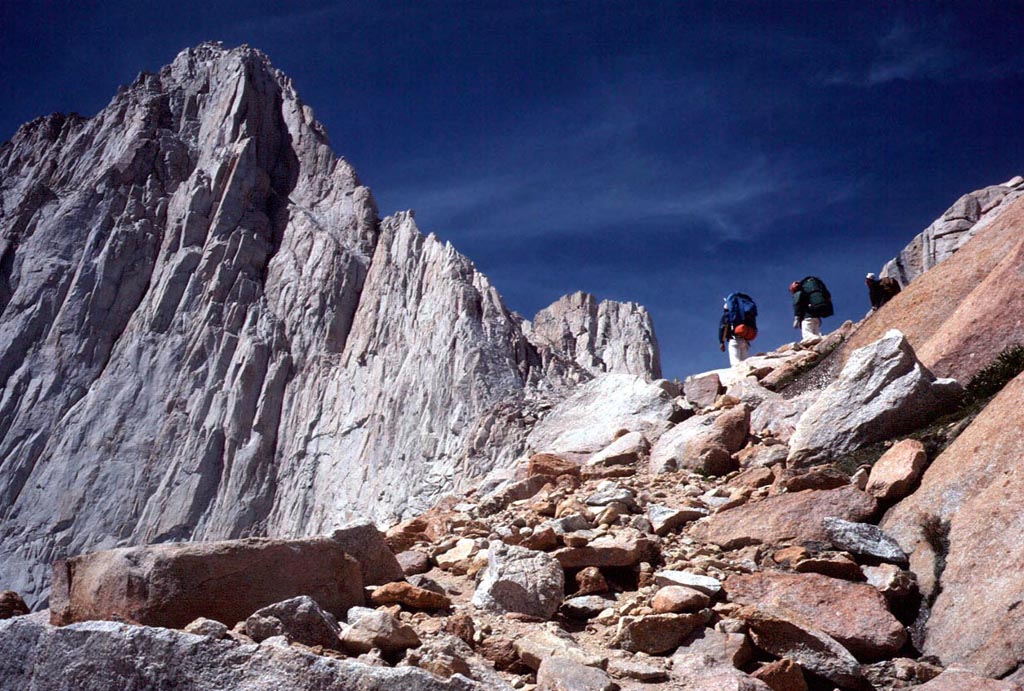
Almost to camp at Iceberg Lake. The East Face route starts on the right ridge and gradually traverses out onto the face. |
LG,LC,DS |
GC |
9/12/80 | ||
|
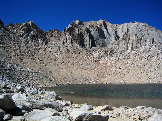
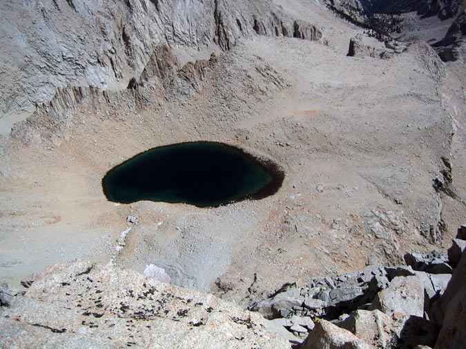
Iceberg Lake. |
- |
CD |
9/03 | ||
|
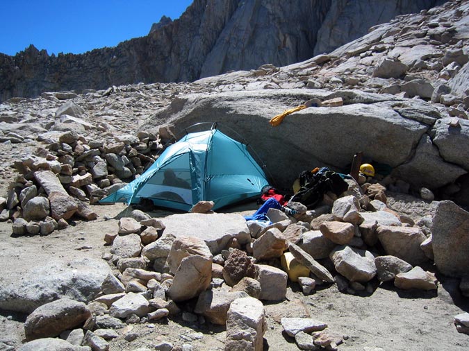
Camp at iceberg Lake. |
- |
CD |
9/03 | ||
|
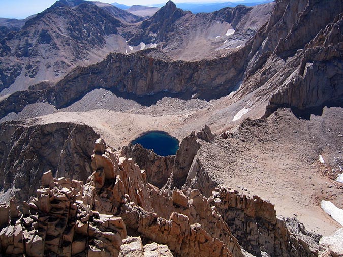
Iceberg Lake from high on Mt. Whitney. |
- |
CD |
9/03 | ||
|
Iceberg Lake from Mt. Russell to the northeast. |
- |
CD |
9/03 | ||
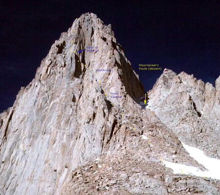
|
The NE side of Whitney, taken from Iceberg Lake, with the route and features marked (see large image.) |
- |
GC |
9/12/80 | ||
|
|
|
|
|
|
*Climbers & Photographers: Gary Clark, Robert Kee, Lee Griffith, Dave Stephenson, Lynn Clark, Chris Dolan, Dan G.