Wheeler Peak via Horseshoe Lake, New Mexico
July 6-7, 2007
Leader and Author:
Francesco Grilli
Trip
Participants: Benjamin Davis, Noor Khalsa, Tianshu Li, and
Francesco Grilli
Photo Gallery: More
photos are available
here
Original Club
Announcement: click
here for details
We left Los Alamos at
noon, picked up Noor in Espanola, and started hiking from the trailhead
in Red River at 3:30pm. The trail (#56) follows the East Fork of the
Red River and climbs up in the forest very gently. The clouds and
a brief afternoon rain provided the necessary cooling. After three
hours we arrived at the beautiful Horseshoe Lake, at the foothills of
Mount Walter, where we set camp, lighted a fire and had dinner. Noor provided very good food to share.
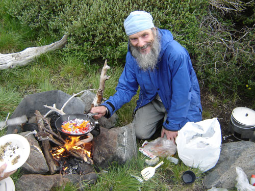
Noor cooking vegetables
on the campfire.
The next morning we
started the climb to Wheeler Peak at 6:00am; the early start allowed us to
spot a large herd of deer; on our way we also met mountain goats (with
baby), bighorn sheep and marmots. Curiously, we arrived on top at
7.07 am (of 07/07/07). The top was wrapped in the clouds, but they
cleared shortly after, allowing us to have beautiful views of the
surroundings.
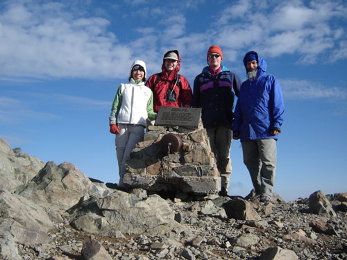
The whole party on top
of Wheeler Peak
We returned to our
campsite at the lake, packed the tents, and headed down. Three of
us chose to complete a loop instead of retracing our steps. The
trail (#91) reaches another gorgeous lake, Lost Lake, before going down
to the Middle Fork of the Red River. A forest road made us reach
the junction of the two forks and, finally, our car.
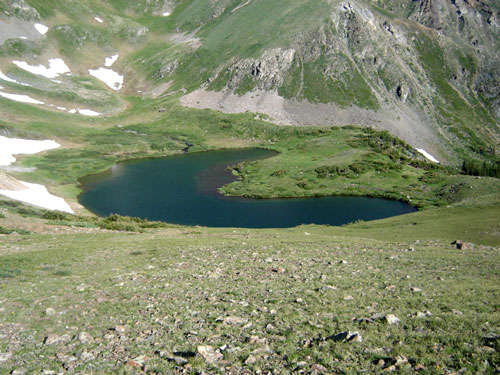
Horseshoe Lake - our
campsite
Notes:
-
Horseshoe Lake is
above the tree line and quite windy. There are several more
protected campsites before reaching the lake.
-
For doing the loop it
is better to leave the car at the junction of the two forks of the
Red River; this avoids a final tiring 1.25-mile climb up.
-
A map of the trails is
available
here.
-
More photos are
available
here.